Pilot project in Ghent: Setting up oxygen districts and evaluating school streets and circulation plans
The City of Ghent is rolling out several initiatives with a focus on school streets and mobility plans. On the one hand, the city is measuring the impact of school streets on local air quality. On the other hand, it examines how circulation plans can be implemented. Various sensors are deployed to measure nitrogen dioxide concentrations, with the main objectives being:
1
Assessment of different mobility plans for residential areas
2
Building support for school streets in Ghent
3
Improving air quality monitoring in mobility plans

©Stad Gent
Improving air quality monitoring of district mobility plans in Ghent
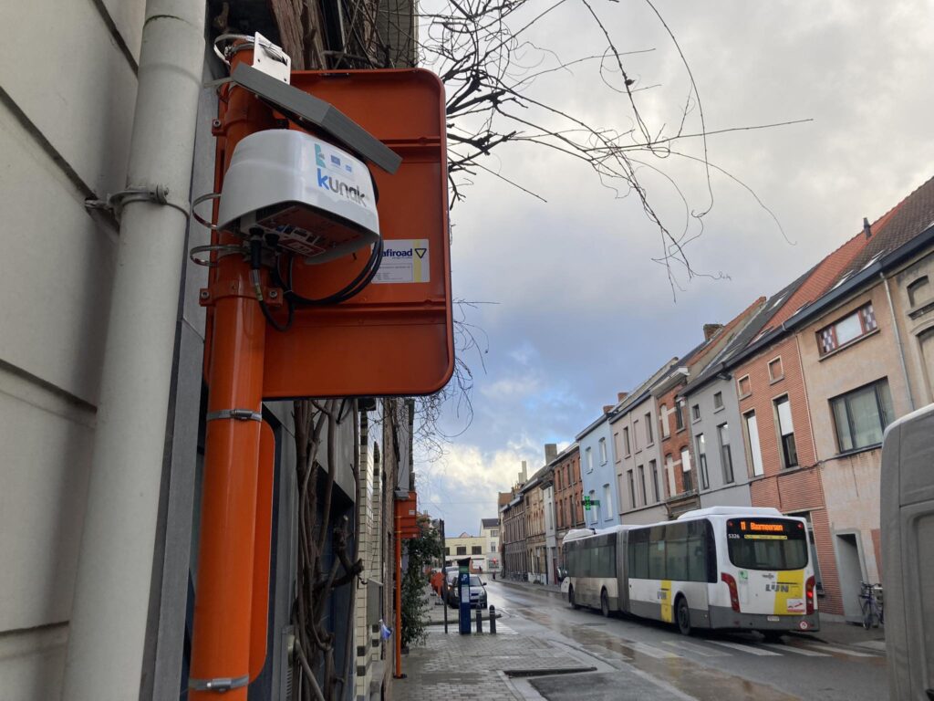
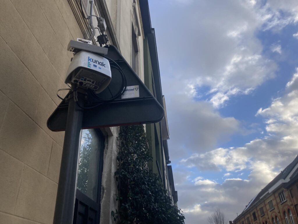
The impact of all district mobility plans on air quality is being monitored using passive NO2 samplers. Reliability of passive samplers is high, but the potential to involve citizens is rather low due to the lack of transparency and the long wait for lab results. Within CityTRAQ, Ghent investigates if sensors can be used as an alternative for passive samplers to evaluate the impact of mobility measures on air quality. Therefore, NO2 sensor boxes have been installed in the district of Dampoort/Oud-Gentbrugge. Fixed NO2- sensors are measuring at at least 10 locations in the district, from 4 months before implementation of the mobility plan until at least 6 months after.
Goals
Bring about more transparency in the evaluation process of policy action
Increase support for policy action
Building support base for school streets through air quality monitoring
The already existing school street approach of the city of Ghent is being enriched with an air quality perspective from start to finish, centered around participative NO2 measurements. These measurements are conducted with passive samplers and sensors in and near a school street. Real time air quality will also be visualised on a screen near the school entrance. These measurements and visualization will be used to build a support base for school streets and induce behavioural change.

©Stad Gent
Goals
Enrich the existing school street approach with information about air quality and visualize real-time measurement results at school gate
Increase support and commitment for school street intervention
Induce behavioural change towards more sustainable travel
Raise awareness of idling cars
Monitoring the impact of the ring road relocation on air quality
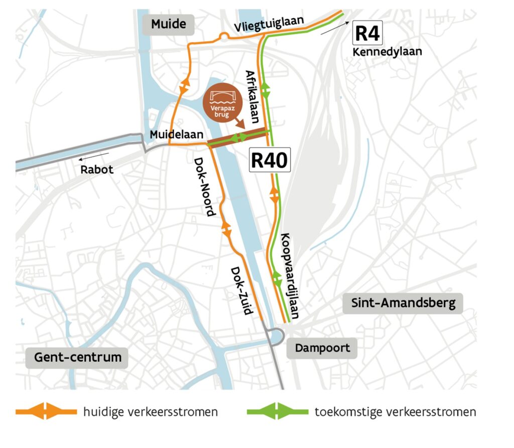
In the summer of 2025, a new bridge will open in Ghent. The Verapaz bridge creates a new connection between two parts of the ring road, which will change the position of the ring road. In order to measure the impact of this major traffic change on air quality, 13 NO2 sensor boxes have been installed in the area. The goal is to get an insight in the effectiveness and added value of NO2 sensors in the context of the monitoring of mobility interventions.

©Stad Gent
